
Description
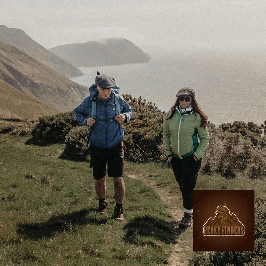
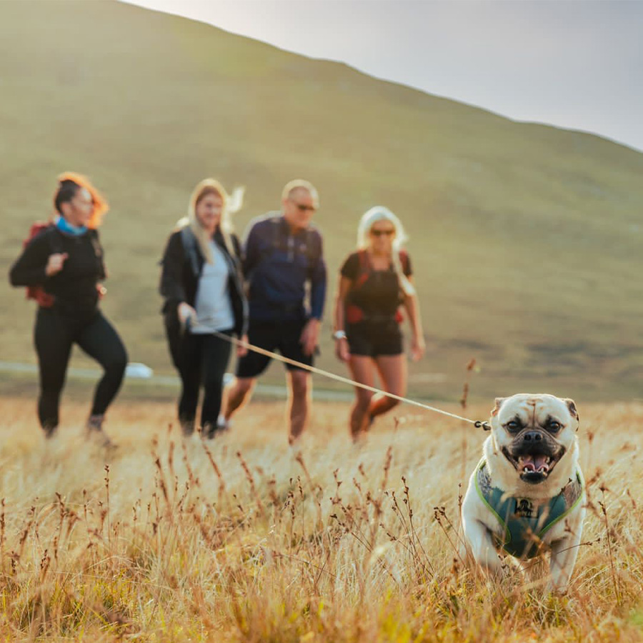
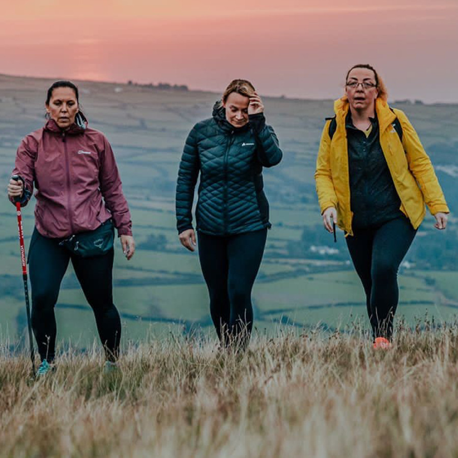
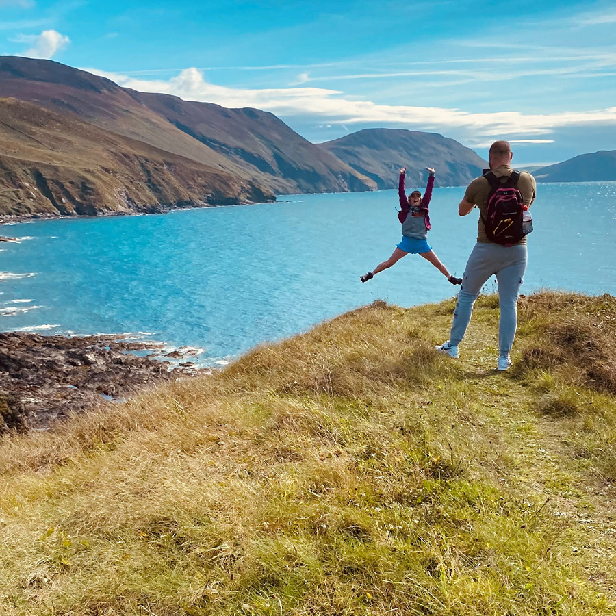
Peaky Finders Isle of Man
Peaky Finders
1 - East Summits
Date: Sunday 5th February
Meeting place: TBC in booking email
Time: 9:00am
Cost: £23pp
Summits on this route: Slieau Ruy 1,299 - Slieau Ouyr 1,483 - Slieau Lhean 1,539 - Snaefell 2,036
Distance / Duration: 16.5km/ 5 hours
Total ascent: 1, 965 feet
Terrain: Mostly clear footpaths with some open moorland that is marshy in places.
Difficulty: medium/hard
A walk circling the Laxey Valley with views back to the sea throughout the climb with dramatic views of our largest Valley Glen Mooar. You will bag 4 summits and trace back through the historic Laxey Glen, charming Agneash village passing the Great Laxey Wheel. Finishing in a pub in Laxey for a well earned drink(optional)
2 - North East Summits
Summits on this route: North Barrule 1,854 - Park Lewellyn 1,794 - Beinn Rein 1,804 – Claugh Ouyr 1,808 – Snaefell 2,036
Date: Sunday 12th February
Meeting place: TBC in booking email
Time: 9:00am
Cost: £23pp (includes minibus transport)
A stunning walk with plenty of climbs bagging five summits over 1,000 feet, including two of the Islands highest summits. The distinct ridge of North Barrule is a wonder to walk over, with fine views of the Corrany valley. The walk ends at the Islands highest point at Snaefell Mountain at 2,034 feet above sea level where you’ll be treated to 360 views if you choose a clear day.
The Victory Café at the Bungalow will provide a warm welcoming reward and refreshment after this juicy walk. We will have transport waiting at the bungalow to transport you back to your cars.
Distance / Duration: 10.87km / 4h 30 min
Total ascent: 2,522 feet
Terrain: Mostly clear footpaths with some open moorland that is marshy in places.
Difficulty: Strenuous
3 - Central (East) summits
Summits on this route: Carraghan 1,640, Beinn-y-Pott 1,791 - Mullagh Ouyr 1,611 - Slieau Lhost 1,460 - Slieau Ree 1,037
Date: Saturday 18th Feb
Meeting place: TBC in booking email
Time: 9:00am
Cost: £23pp
Distance / Duration: 18.6km/5h 30 min
Total ascent: 2, 234 feet
Terrain: Mostly clear footpaths (some very rocky in parts), open moorland that is marshy in places.
Difficulty: medium/hard
A walk of two circles from Windy corner. Offering superb views of the East coast of the Island and of the Glen Roy Valley skirting the famous Mountain Course. The walk bags 4 summits including a local favourite Beinn-ny-Phott (Penny Pot). The footpath verges left following this summit onto the Millennium Way towards the beautiful Baldwin. Track the Baldwin river on your return when you reach the moorland you come by the rocky outcrop on your left. Before the shorter circular loop to Slieau Lhost and Ree. We will end our walk at the famous Creg Ny Baa pub (optional)
4 – Central North Summit – The Wow Walk
Summits on this route: Slieau Managh 1,256 & The magical Creg Bedn
Date: Sunday 26th February
Meeting place: TBC in booking email
Time: 9:00am
Cost: £22pp
Distance / Duration: 15.1 km/6hrs
Total ascent: 2,087ft
Terrain: Some good clear footpaths and plenty of open moorland with uneven terrain. Can be very marshy in places.
Difficulty: medium/hard
A giant walk to take in one summit through the striking and steep sided Tholt y will Glen and plantation with the walk passing Mount Karrin offering dramatic views of the Valley below, magnificent waterfalls during autumn and the longest river on the Island. You join part of the Millennium Way onto the slopes of Slieau Managh to be surrounded by the northern hills and see the nearby enormous quartz crop at Creg Bedn (White Rock). Creg Bedn is thought to have magical properties. Time permitting, we will take a shortcut off route to see the killabregga tholtan.
5 – North West Summits
Summits on this route: Slieau Curn 1,148 - Slieau Dhoo 1,417 - Slieau Freoaghane (Marilyn) 1,601 - Sartfell 1,490
Date: Sunday 12th march
Meeting place: TBC in booking email
Time: 9:00am
Cost: £23pp
Distance / Duration: 17.2km/6 hours
Total ascent: 2, 320ft
Terrain: Mostly clear footpaths (some very rocky in parts), open moorland that is marshy in places.
Difficulty: hard
Leaving the town of Kirk Michael, you climb the steep slopes of Slieau Curn for enchanting views northwards of the remote Glen Dhoo valley where there is often swooping Peregrine falcon and Hen harriers. The next climb is Slieau Dhoo with its natural pool, Slieau Freoaghane Marilyn with a novelty bell at its peak following by Sartfell with its telegraph post ladder. This walk will end at the Mitre pub in Kirk Michael (optional).
6 – Central Summits
Summits on this route: Slieau Maggle 1,401 – Colden 1,598 – Lhargee Ruy 1,430 – Slieau Ruy 1,571 - Greeba Mountain 1,384
Date: Sunday 26th march
Meeting place: TBC in booking email
Time: 9:00am
Cost: £23pp
Distance / Duration: 12.5km 4.5 hours
Total ascent: 2,070ft
Terrain: Mostly clear footpaths (some very rocky in parts), open moorland that is marshy in places.
Difficulty: medium/hard
Expect rich wildlife and far-reaching views on this linear route through the Island’s peaceful central spine as you walk from top to top bagging 5 summits in one of the Island’s largest ASSI reserves. Commence in the new car park at Sartfell to the steep descent through the Kings Forest at Greeba Plantation which meets the main Peel Road. Greeba is not a mountain but its name derived from the Scandinavian word "Gnipa" meaning "peak".
7 – South West Summits
Summits on this route: South Barrule 1,585 – Cronk ny Arrey Laa 1,434
Date: Saturday April 1st
Meeting place: TBC in booking email
Time: 9:00am
Cost: £23pp
Distance / Duration: 19kn/6.5 hours
Total ascent: 2, 465 feet
Terrain: Open moorland, loose stone and narrow costal footpath
Difficulty: hard
This walk offers such variety, including a valley, moorland, coastal footpath, ancient woodland and waterfalls with spectacular views to be admired from all angles of the Island, especially from the two featuring summits steeped in Celtic and Viking history. Niarbyl is a paradise for photographers and nature-lovers and is of great beauty with the chance to spot wildlife and stand on a major geological fault line. This walk will end at Niarbyl café for a well earned pint or a nice brew and a scone.
8 – The Finale West Summit
Summits on this route: Slieau Whallian 1,093
Date: Wednesday 26th April
Meeting place: TBC in booking email
Time: 8:00pm
Cost: £23pp
Distance / Duration: 5.8kn/2. 5hrs
Total ascent: 997ft
Terrain: Mostly forest footpaths (some rocky in parts), open moorland that is marshy in places.
Difficulty: moderate/medium
Slieau Whallian has an eerie past according to local folklore who know it as the hill where suspected witches – men and women were rolled in barrels in past centuries. The peak rises steeply and offers great views of the village of St John’s, Tynwald Hill and the Royal Chapel yet are hidden at the top. Rewarding views do offer a west outlook of Peel Hill and St Patrick’s Isle, Peel Castle and the mighty southern summits. This will be our final summit and we will end in the Tynwald pub for a celebratory drink.

Reviews
There are no reviews yet.